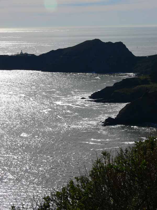
Point Bonita
Near Fort Cronkhite, on the south end of the beach, is Point Bonita. The point juts out into the water forming a corner of sorts between the bottom of the headlands, which head east to the Golden Gate, and the northward turn of the coast which goes beyond Fort Cronkhite up the coast to Point Reyes and more. When they started to develop the Golden Gate National Recreation Area, they opened up parts of the headlands that had previously been forbidden territory housing missiles and (later) falling down bunkers. On the headlands, there is the Point Bonita lighthouse (trust me…it’s out there….also, these photos are click-able to become larger).
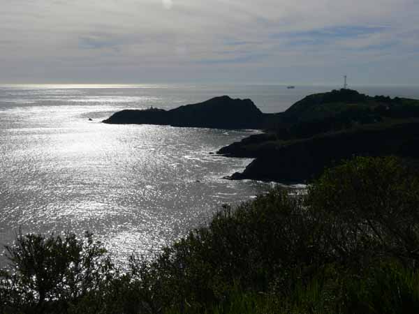
At a certain point, the road becomes a one-way, narrow, twisty, white-knuckle driving experience of breathtaking beauty with the sunlight nearly blinding you reflecting on the water. Luckily, there was no one behind me, so I was able to snap these photos through the windshield…with emergency brake ON! The first part of the one-way road is a VERY steep downhill; as you look over the hood of the car, all you see is the guard rail and the ocean beneath…the drop-off is SO steep that you couldn’t even see grasses!
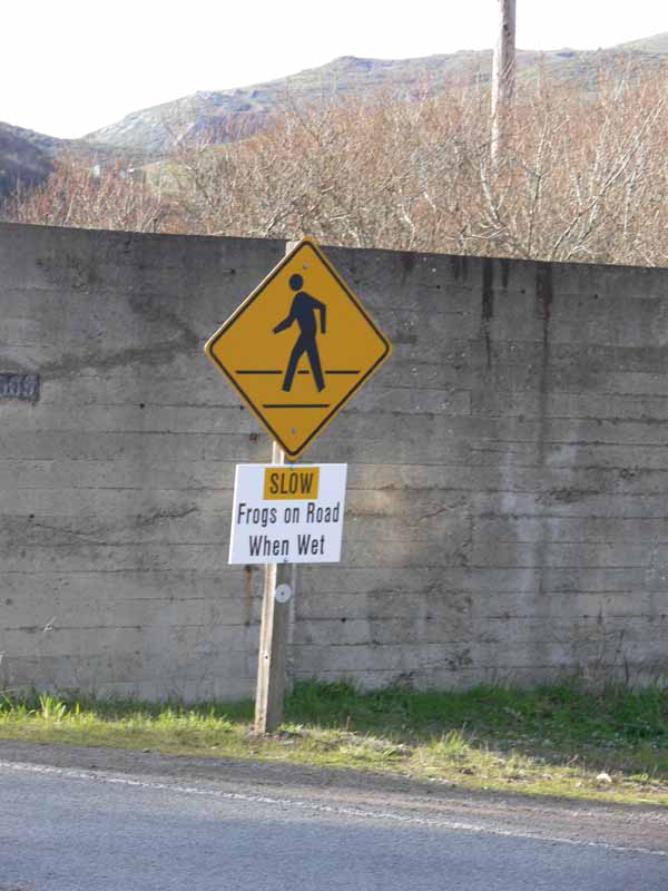
And to offset the sheer magnificent beauty of this scene, was this sign near the roadway that crossed the lagoon:
February 29th, 2008 at 4:52 pm
Great pictures!
Sarah Ann I love your blog and I have nominated you as one of my best ten blogs. Now you have to nominate your best ten blogs. To see the rules go to my blog http://dyeing2sew.blogspot.com